
but not quite as bad as two years ago. Last time it rained during the event, this year it was mainly cloudy but we did have some sunshine 😊
This event also has a relatively unusual start, you are allocated a start time with two or three others and there is a four minute gaps between groups. Walkers leave in groups from 7.00 and runners start in groups from 8.00. So you have to be on the ball with your navigation straight away. Apart from two or three signs at Radbourne (17 miles), the route is not marked.
I had the route on my Garmin and on my phone as a backup. I was also carrying the not very clear map and the detailed route description. My memory for routes is not too bad, but this route has lots of twists and turns up until you reach the canal at 23m. It is pretty straightforward after that - canal towpath followed by cycle paths.
I chatted with the only other person I left Race HQ with and we were both pleased by the weather and grateful that it wasn't like last weekend when there was lots of ice and snow.
I remembered most of the start out of Derby and then we were into the start of the muddy field edges

but soon after we were into a private estate, Locko Park


and then off into more muddy paths and fields

Soon after this I made my first mistake. I came to a gate, failed to notice a small gate slightly to the left and saw a large gate going slightly right. I took that and was followed by three others. I waded through a big mud pond the other side of the gate and then immediately realised something wasn't right. I asked my followers if they were sure this was right as they were about to run off, but they clearly weren't sure. Then other runners appeared at the original gate and called us back and said we should go through the small gate. So back through the mud pond again and on to the right path.
Down to the first checkpoint, biscuits, jelly babies, juice and hot drinks - all the checkpoints were the same. They recorded your number, which you had to remember, there was no cards to stamp or numbers to attach in this event.
Then a short windy road section where I lost sight of the runners ahead and made another error. I missed a turn but realised pretty quickly and cursed myself for not paying more attention to my watch.
After that it was more woods, fields, quiet roads, a bit of a climb before reaching the second checkpoint. By this time I was starting to catch some of walkers and some of the runners who had started before me. After the second checkpoint there is a footbridge over the railway and a one mile climb up a muddy hill.


More pretty Derbyshire villages and meandering footpaths with plenty of scope to go the wrong way before a long climb up a farm road into a wind which seemed to be picking up. Down the other side of the valley and up again to a water tower on the horizon. The route at the water tower is unclear, the route description says left round a new partially finished estate so that is the way I went, but there is a footpath straight through the new estate on the map which has presumably been diverted because of the building work as I saw runners on it at the other end.
At this point 16 miles, I realised I was pretty tired, the mud was just sucking my energy away and I was only half way. I walked a bit until I got to Radbourne where I had plenty to drink and started on my way, passed the lovely church and

though the Radbourne Estate and into yet more muddy fields. Crossed the A516 and made another very minor error, but soon got back on track and reached checkpoint 4. Soon after this there is the horrible crossing of the A38, a busy dual carriageway with crash barriers between the carriageways.
This time I saw runners crossing a bit further down from where I had climbed over the crash barriers last time. I followed them and saw that there was a gap in the crash barriers which would save climbing over them (not something you want to be doing when you are next to the fast lane). This made it a bit easier to cross, but it is still a hairy crossing.
Then onto the village of Findhern which you approach from the north west and leave by the south east and there must be many ways of getting through the maze of little streets. I stuck to the way I went last time in order not to get lost again.
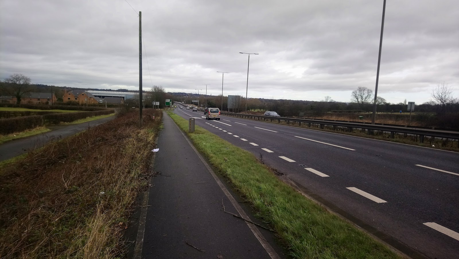
Then there is about a mile to the canal and here you can relax in terms of navigation. It was raining here last time, but this time it was sunny and not as muddy as last time and I enjoyed it. I knew it was going to be a long 3.5 miles but this time I was prepared for it. There were some interesting things to look at


Finally I got to the point where we leave the canal


and the final checkpoint. Five miles to go along cycle tracks from here to the finish. I had started to run less on the canal, I was just too tired and it was a run a bit, walk a bit routine all the way back to the finish. There was hot soup and some cake at the Race HQ, but I needed more and ventured into McDonalds, somewhere I haven't been for a very long time. I got one or two looks going in there with still some mud on me. Then back to the hotel where I cleaned myself up and treated myself to a gin and tonic

One year I would like to do this one without making any errors so maybe I will try again at some point in the future.
Through the wringer, Dave! Rain = mud but wonderful, verdant fields.
ReplyDelete